|
|
||||||||||||||||||
Rising Tide
Researchers: Andrew Johnson, Jason Leigh, Khairi Reda
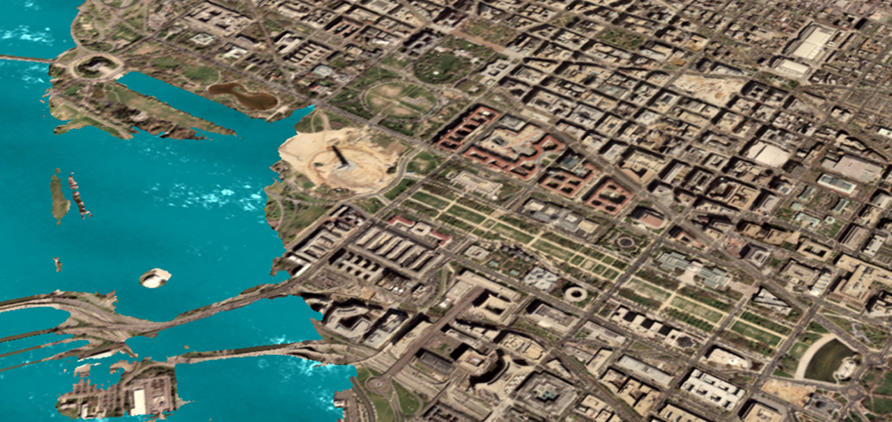
Funding: Science Museum of Minnesota (NSF award DRL-0741760) EVL collaborators at the Science Museum of Minnesota (SMM) built a TacTile multi-touch display in 2009 after seeing it at EVL, and made several design improvements. They are currently funding EVL to develop the interactive application “Rising Tide” for an upcoming exhibition called Future Earth, designed to educate audiences on global climate change. The Future Earth exhibition will address the long-term human impact on planet Earth. The application Rising Tide, developed for TacTile, will enable visitors to interactively explore the effect of sea-level rise on urbanized areas in the US that are susceptible to sea-level rise (e.g., Baltimore or Washington DC). Visitors will be able to explore different scenarios for global sea-level rise due to global warming, and interact with a photorealistic rendering that shows how much land will be flooded due to sea rise. “Rising Tide” uses state-of-the art LIDAR data, which provides high-resolution elevation data, enabling us to render a scientifically accurate prediction of the flooded areas. TacTile enables visitors to interact seamlessly with the visualization and collaborate with one another to better understand the consequences of global sea-level rise and how it relates to their local communities. Email: spiff@uic.edu Date: January 1, 2009 - December 31, 2011 |